Rainbow Trail – Taylor Creek Visitor Center#
The Rainbow Trail is a 0.7-mile loop hike near the Taylor Creek Visitor Center, just north of South Lake Tahoe. It’s an excellent trail for families and kids since it’s short and flat and boasts activities such as the Stream Profile Chamber, where you can see a section of Taylor Creek through aquarium windows. Adventuring types can explore the nearby Lake of the Sky trail, which leads to the shores of Lake Tahoe.

El Dorado Trail in Placerville#
Enjoy 8.5 miles of paved Class I Bike Path in Placerville along the El Dorado Trail, a network that will ultimately connect South Lake Tahoe to El Dorado Hills. The paved trail goes from Camino to Historic Main Street in Placerville where you can easily hop off the trail to explore the historical buildings and charms of a charming, genuine gold rush town. You won’t want to miss the breathtaking Weber Creek Trestle that dates back to 1903 and towers about 100 feet above the creek; it lies just one mile east of Missouri Flat Road.
The trail in the areas of Smith Flat and Missouri Flat Road is ADA accessible and wheelchair-friendly.

Tallac Historic Site and Valhalla#
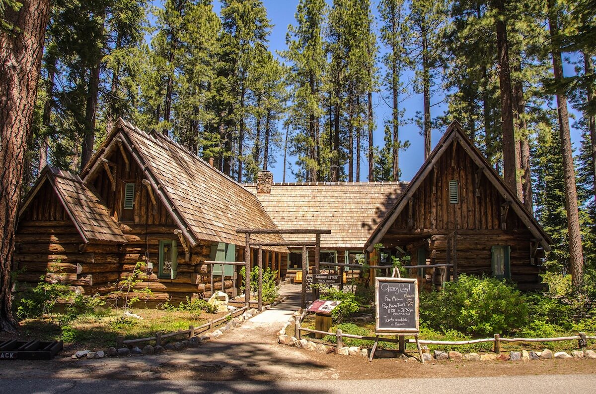
These two lakefront sites, located a few miles northwest of South Lake Tahoe on Highway 89, were once the summer retreat for some of San Francisco’s most elite families. Today you can explore the site’s remaining buildings, which are open from June through September, and learn about this bygone era or just meander along the scenic trails (many of which are paved) and enjoy the trees, fresh air, and views of Lake Tahoe.

Vikingsholm#
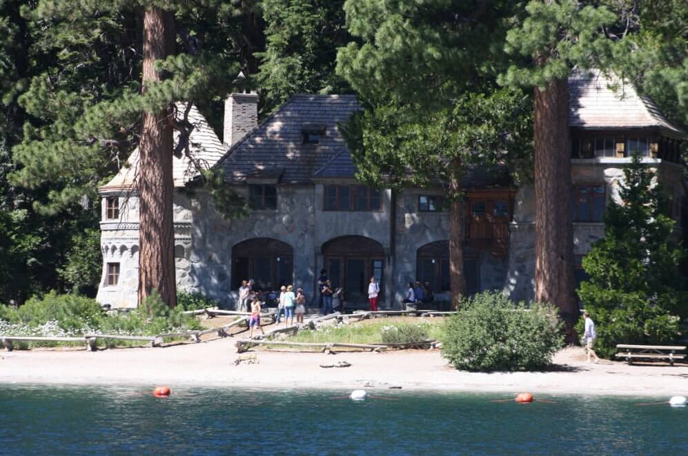
Located at Emerald Bay, Vikingsholm is a stunning example of Scandinavian architecture that boasts an equally stunning backdrop. The trail from the parking lot to the property is a steep one-mile paved trail that drops 500 feet in elevation. While it’s a short hike, it is considered strenuous (though some would argue that the views of Emerald Bay and Vikingsholm are worth it!).
#
Dave Moore Nature Area#
The Dave Moore Nature Area is approximately two miles west of the Marshall Gold Discovery State Park in Coloma on Highway 49. The loop trail is about a mile long, half of that is constructed to be fully accessible to people with wheelchairs, walkers, and strollers, and leads to the South Fork of the American River. Look closely, and you’ll see remnants from nearly 150 years ago when Chinese laborers channeled creek water by hand with pick and shovel for gold mining.
Note: Winter rains have damaged sections of the trail, so it’s currently not recommended for anyone requiring ADA trails.


