Mt. Tallac#
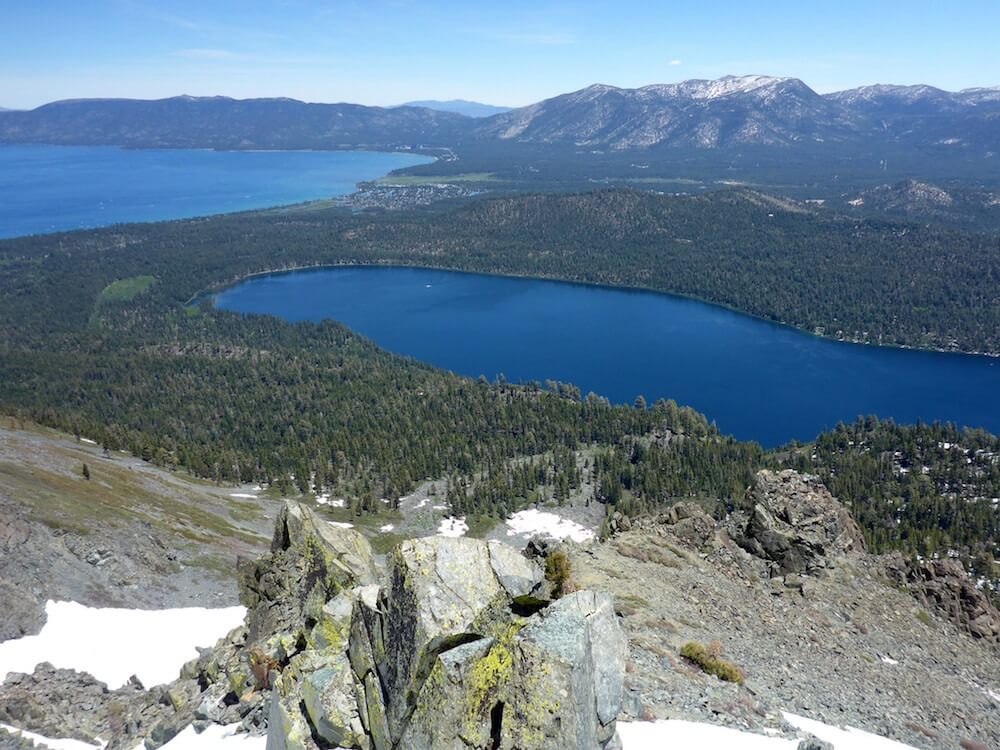
One of the most recognizable peaks in the Lake Tahoe Basin is a logical choice for a summit hike, boasting 360-degree views of Lake Tahoe and the Desolation Wilderness. There are a few trail options: summiteers looking for a direct route should go via Floating Island Lake and Church Lake.
Approximately 10 miles roundtrip
Trailhead: Camp Shelly/Tallac City Camps
Freel Peak#
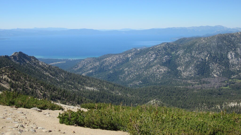
The highest peak in El Dorado County (10,886 feet, if you’re counting), is in the Carson Range, near Lake Tahoe. Much of this trail is above treeline, providing terrific views of Lake Tahoe, Desolation Wilderness, and the surrounding peaks. The summit provides a different perspective of neighboring Job’s Sister and Job’s Peak, along with vistas of California and Nevada.
Approximately 16 miles roundtrip
Trailhead: End of Fountain Place Road, off Oneidas Street
Lovers Leap#
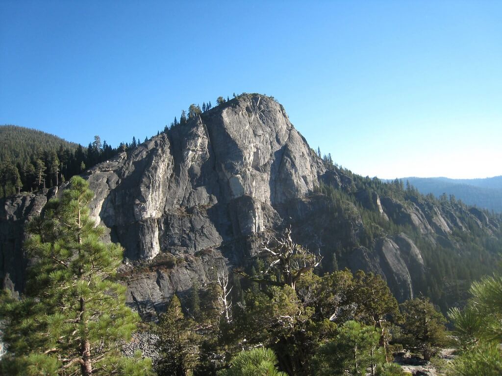
If you don’t have time for a long hike, how does a three-mile summit hike sound? While Lovers’ Leap better known as a popular climbing spot, it’s also a terrific hiking spot. And with only about 600 feet of climbing, it’s one of the easier summits in El Dorado County, though its views are just as stunning, giving you a different perspective on Horsetail Falls, Ralston, and even Pyramid Peak.
Approximately 3 miles roundtrip
Trailhead: Camp Sacramento
Ralston Peak#
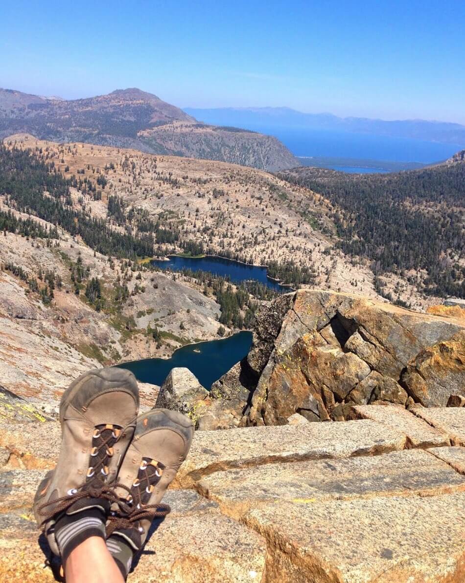
Here’s another shorter summit hike. Its three-mile trail to the summit is admittedly steep, climbing 2,600 feet. Be prepared to scramble up some of the steeper sections. Topping out is well worth it, giving you expansive views of Desolation Wilderness and Lake Tahoe.
Approximately 6 miles roundtrip
Trailhead: Camp Sacramento
Heavenly Mountain#
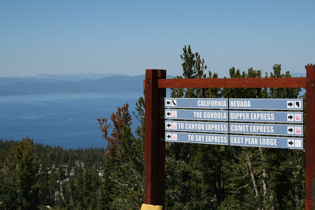
If your ideal hike includes a gondola ride, you’ve found nirvana. Heavenly’s Gondola accesses several trails that allow you to hike to the top of the mountain without all the effort. Take the gondola and Tamarack lift, and it’s a short, relatively flat climb along the Sky Express hiking trail to see views of Freel, Desolation Wilderness, and Lake Tahoe. The best part? No need to pack a lunch, since you can enjoy a tasty burger at Tamarack Lodge at the top of the Gondola.
Trailhead: Top of gondola
