
Inspiration From the Trail #hiking
Trip Picks
Hiking Trail Recommendations
With so many miles of hiking trails to choose from, it can be hard to decide where to begin! To help you out, we’ve put together recommendations for a variety of hikes to suit all tastes. New to hiking? See our tips on recreating responsibly.
- Top Summit Hikes
- Wildflower Hikes in El Dorado County
- Instagram-Worthy Hikes in El Dorado County
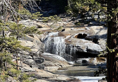
- Can’t-Miss Waterfall Hikes
- Top Family-Friendly and ADA Accessible Hikes
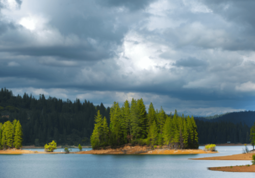
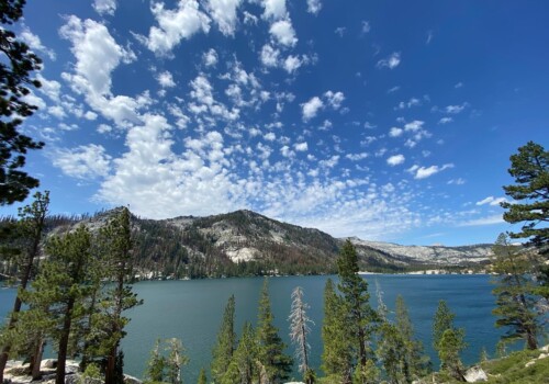
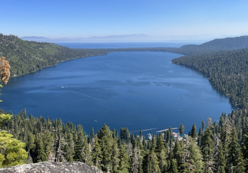
Desolation Wilderness
Desolation Wilderness, located west of Lake Tahoe in El Dorado County, may be considered small for a wilderness area at nearly 64,000 acres, but it compensates with dramatic scenery ranging from starkly beautiful granite to cerulean blue alpine lakes. Visitor permits are required year-round for both overnight and day hikes. Its many glacially formed lakes and streams make it one of the most scenic stretches of the Pacific Crest Trail and Tahoe Rim Trail.
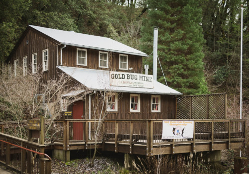
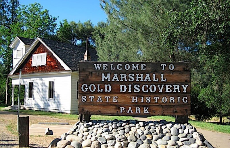
Dave Moore Nature Area
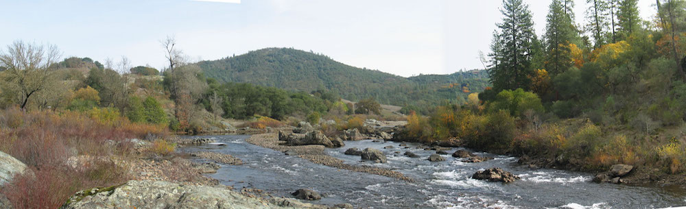
The Dave Moore Nature Area is located approximately two miles west of the Marshall Gold Discovery State Park in Coloma on Highway 49. The loop trail is about a mile long, half of that is constructed to be fully accessible to people with wheelchairs, walkers, and strollers and leads to the South Fork of the American River. Remnants from nearly 150 years ago when Chinese laborers channeled creek water by hand with pick and shovel for gold mining.
El Dorado Trail
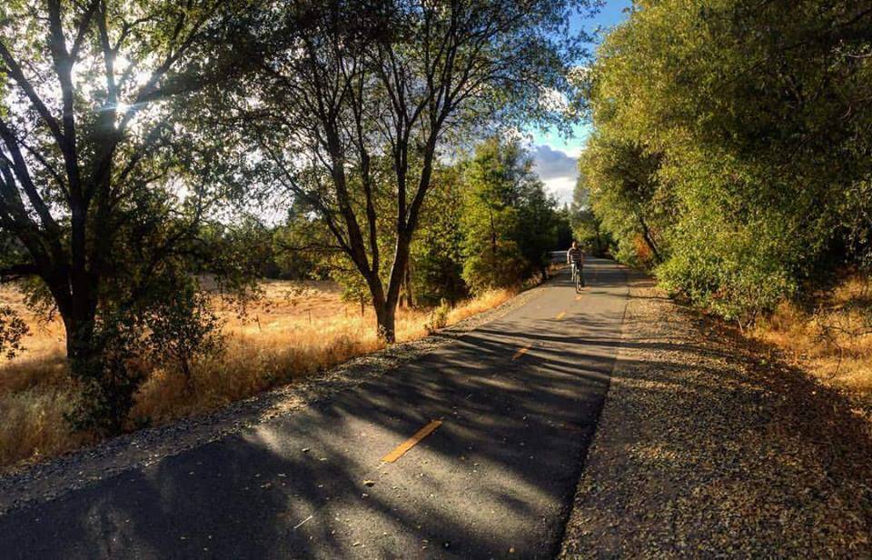
The newest trail system to El Dorado County will eventually extend from the western county line to the Lake Tahoe Basin. Currently, you can access the trail from the western end of the County through Placerville into Camino. Most of the El Dorado Trail is unimproved and remains with the rails left abandoned. Over twenty-three miles of this natural trail weave through the foothills, all open for nature walks, horseback riding, or mountain biking.
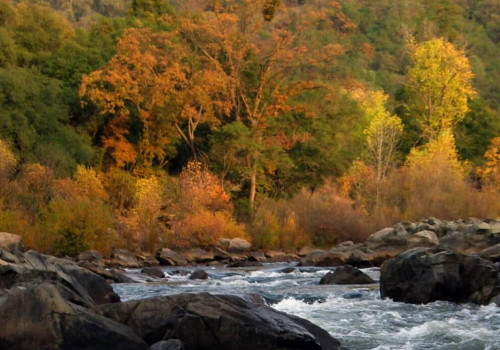
Cronan Ranch Regional Trails Park
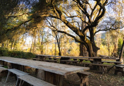
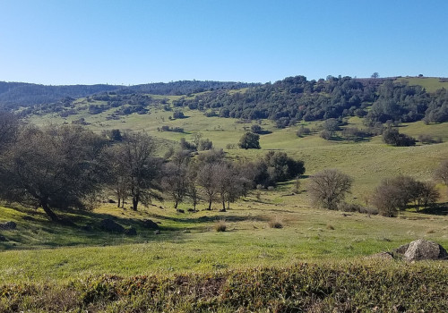
Cronan Ranch Regional Trails Park is located four miles north of Coloma on Highway 49. The Park contains 12 miles of trails for hiking, biking, horseback riding, fishing, and bird watching. The borders of the Park contour the South Fork American River, Highway 49, Pedro Hill Road, and private lands. The Park is open daily from sunrise to sunset year-round. You’ll find a wide variety of terrain to choose from, including gently sloped to challenging hills, oak woodland, and gentle riverfront trails. Each season offers a diverse experience: Spring wildflowers on the ranch are not to be missed, summer offers golden hills and hot temperatures, and in fall, you’ll see the ranch full of changing colors, and winter rains turn the hillsides a verdant green.
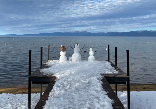
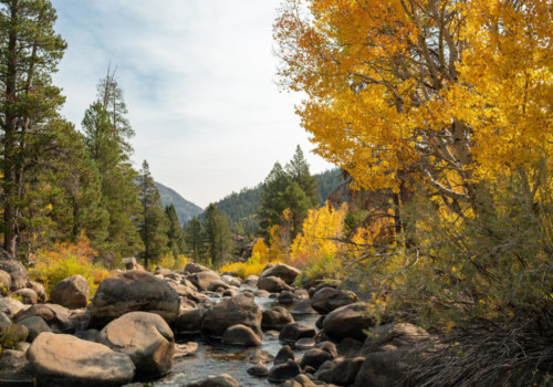
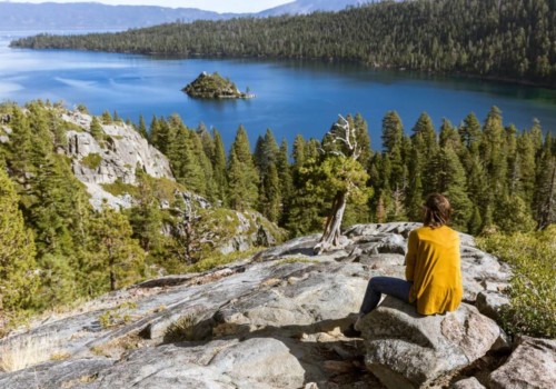
Tahoe Rim Trail
Come hike, bike, and horseback ride on the spectacular Tahoe Rim Trail (TRT) as it follows the ridges and mountaintops that circle Lake Tahoe. Winding for 150 miles through national forest, wilderness, and state parklands, the trail crosses thick conifer forests and wildflower-filled meadows meander alongside aspen-bordered creeks and skirts the shores of crystalline lakes. The TRT was built to accommodate hikers, mountain bikers, and equestrians, and to showcase breathtaking views of Lake Tahoe, California’s High Sierra, and the Great Basin of western Nevada.